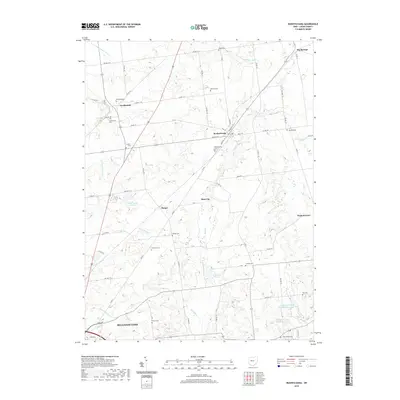
2019 Map of Rushsylvania
USGS Topo · Published 2019About this map
Rushsylvania and Northwood serve as central hubs in this northern Logan County landscape, where the headwaters of the Mad River and Rush Creek begin their descent. The map reveals a dense network of family and community burial sites, including McKira han Cemetery and Fulton Cemetery, which provide critical points of reference for genealogical research. Small crossroads settlements like Harper, Big Springs, and Marl City are linked by a grid of township and county roads that navigate the glacial terrain and numerous small waterways such as Cherokee Run and Bokes Creek. The southeastern corner transitions into the residential fringes of Bellefontaine, specifically around the Appleseed Ridge Lakes, illustrating the modern expansion of this historic county seat. This detailed record captures the balance between agricultural land and the growing water-recreation features like Rushcreek Lake.
Find a feature on this map
72 named features on this map. Tap any name to fly to it.
Don’t see what you’re looking for? This feature index may not catch every label — zoom into the map to look around manually.
Map Details
Editions of this 2019 Rushsylvania Map
This is the sole edition of this map. No revisions or reprints were ever made.
Other maps of this area

1913 · Alger
USGS Topo · 1:48,000

1913 · Bellefontaine
USGS Topo · 1:48,000

1913 · East Liberty
USGS Topo · 1:62,500

1915 · Alger
USGS Topo · 1:62,500

1915 · Bellefontaine
USGS Topo · 1:62,500

1915 · East Liberty
USGS Topo · 1:62,500

1915 · Kenton
USGS Topo · 1:62,500

1943 · Alger
USGS Topo · 1:62,500

1944 · East Liberty
USGS Topo · 1:62,500

1944 · Kenton
USGS Topo · 1:62,500