Loading...
Loading map...2023 Map of Rushsylvania
USGS Topo · Published 2023About this map
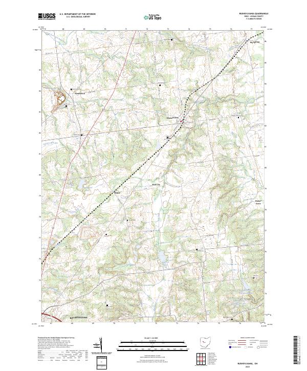
Rushsylvania serves as the central hub of this Logan County landscape, where the headwaters of the Mad River and Rush Creek begin their descent through the glacial terrain of west-central Ohio. The map reveals a dense network of early rural settlements and family-named landmarks, reflecting the agricultural and social foundations of the region. Small communities like Northwood, Big Springs, and Walnut Grove are documented alongside specialized sites such as Camp Wesley Lake.
Find a feature on this map
75 named features on this map. Tap any name to fly to it.
Don’t see what you’re looking for? This feature index may not catch every label — zoom into the map to look around manually.
Map Details
Date Portrayed2023
Date Published2023
PublisherU.S. Geological Survey
Map TypeTopographic
Scale1:24000
Physical Dimensions24 x 29 inches
Editions of this 2023 Rushsylvania Map
This is the sole edition of this map. No revisions or reprints were ever made.
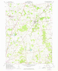
Historical Maps of Marl City Through Time
Featured Locations
- Bellefontaine, OH
- Rushcreek Township, OH
- Jefferson Township, OH
- Rushsylvania, Rushcreek Township
- Northwood, McArthur Township
Source Details
SourceU.S. Geological Survey
CopyrightPublic Domain