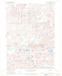
1969 Map of Rushville 4 SE
USGS Topo · Published 1972About this map
The Snake River winds through the sandhills of the Nebraska panhandle, carving a path through the distinct townships of Lavaca, East Gordon, Russell, and Kinkaid. This late 1960s survey reveals a landscape dominated by internal drainage and numerous depression lakes, reflecting the unique hydrology of the Cherry and Sheridan county border. Named water bodies like Big Lake, Hart Lake, and Chokecherry Lake punctuate the terrain, providing essential landmarks in an area characterized by sparse infrastructure and a reliance on natural water features. The map illustrates a ranching landscape where development is limited to unimproved roads and isolated fence lines, tracing the rural character of the Missouri River Basin development program. This topography offers a detailed look at the land's natural contours before modern agricultural or water management changes altered the local basin's footprint.
Find a feature on this map
11 named features on this map. Tap any name to fly to it.
Don’t see what you’re looking for? This feature index may not catch every label — zoom into the map to look around manually.
Map Details
Editions of this 1969 Rushville 4 SE Map
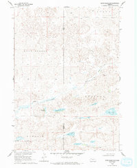
2 editions found
Other maps of this area

1948 · Spade Ranch
USGS Topo · 1:62,500

1949 · Turpin Lake
USGS Topo · 1:62,500

1950 · Spade Ranch
USGS Topo · 1:62,500

1951 · Gypsy Valley
USGS Topo · 1:62,500

1951 · Turpin Lake
USGS Topo · 1:62,500

1955 · Alliance
USGS Topo · 1:250,000

1957 · Alliance
USGS Topo · 1:250,000

1957 · Valentine
USGS Topo · 1:250,000

1958 · Alliance
USGS Topo · 1:250,000

1959 · Valentine
USGS Topo · 1:250,000