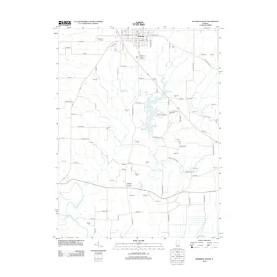
2012 Map of Rushville South
USGS Topo · Published 2012About this map
Rushville serves as the northern anchor of this landscape, where the street grid transitions into a countryside defined by the winding course of Crane Cr and the waters of Schuy-Rush Lake. This area of Illinois is particularly dense with pioneer and family cemeteries, offering a rich resource for genealogists. Numerous burial grounds, including the curiously named Hardscrabble Cem, Old Lawler Cem, and Persinger Cem, are scattered across the township lines. To the south, the settlement of Sugar Grove sits near the confluence of several small waterways like Town Br, while the La Moine River cuts across the southwestern corner. The presence of Independence Hall and Schuy-Rush Airport reflects the mix of local civic landmarks and modern infrastructure that characterizes this portion of Schuyler County.
Find a feature on this map
72 named features on this map. Tap any name to fly to it.
Don’t see what you’re looking for? This feature index may not catch every label — zoom into the map to look around manually.
Map Details
Editions of this 2012 Rushville South Map
This is the sole edition of this map. No revisions or reprints were ever made.
Other maps of this area

1923 · Rushville
USGS Topo · 1:62,500

1926 · Beardstown
USGS Topo · 1:62,500

1926 · Rushville
USGS Topo · 1:62,500

1928 · Meredosia
USGS Topo · 1:62,500

1929 · Arenzville
USGS Topo · 1:62,500

1931 · Meredosia
USGS Topo · 1:62,500

1932 · Arenzville
USGS Topo · 1:62,500

1944 · Beardstown
USGS Topo · 1:62,500

1948 · Quincy
USGS Topo · 1:250,000

1956 · Quincy
USGS Topo · 1:250,000