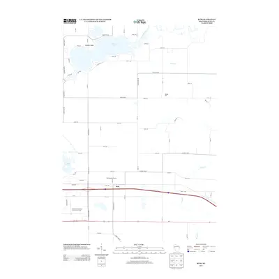
2013 Map of Rusk
USGS Topo · Published 2013About this map
Tainter Lake and the winding course of the Red Cedar River dominate the northern landscape of this Dunn County region. This modern topographic record captures the transition from the aquatic recreation areas in the north to the agricultural and transportation corridors of the south. The small settlement of Rusk sits as a central landmark along the main east-west highway and rail route, surrounded by distinctive geographical features like Sherbourne Prairie and Hanke Hill.
Find a feature on this map
60 named features on this map. Tap any name to fly to it.
Don’t see what you’re looking for? This feature index may not catch every label — zoom into the map to look around manually.
Map Details
Editions of this 2013 Rusk Map
This is the sole edition of this map. No revisions or reprints were ever made.
Other maps of this area

1934 · Elk Mound
USGS Topo · 1:62,500

1936 · Elk Mound
USGS Topo · 1:62,500

1940 · Menomonie
USGS Topo · 1:62,500

1942 · Menomonie
USGS Topo · 1:62,500

1949 · New Auburn
USGS Topo · 1:62,500

1949 · Ridgeland
USGS Topo · 1:62,500

1951 · Ridgeland
USGS Topo · 1:62,500

1951 · New Auburn
USGS Topo · 1:62,500

1953 · Eau Claire
USGS Topo · 1:250,000

1953 · Rice Lake
USGS Topo · 1:250,000