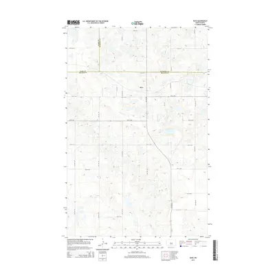
2014 Map of Ruso
USGS Topo · Published 2014About this map
Ruso stands at the convergence of three counties in central North Dakota, where the borders of Ward Co, McHenry Co, and McLean Co meet. This 2014 survey reveals a landscape defined by its grid-work of rural roads, including 32nd St N and 24th St NW, which segment the rolling prairie into large agricultural tracts. The terrain is characterized by numerous small potholes and wetlands typical of the region, with Otis Lake serving as a prominent water feature in the eastern section. The settlement of Ruso, historically known as one of the smallest incorporated cities in the state, is situated along the corridor of 29th St NW, maintaining its position amidst a sprawling network of farm-to-market roads that connect this isolated pocket of the Great Plains.
Find a feature on this map
16 named features on this map. Tap any name to fly to it.
Don’t see what you’re looking for? This feature index may not catch every label — zoom into the map to look around manually.
Map Details
Editions of this 2014 Ruso Map
This is the sole edition of this map. No revisions or reprints were ever made.
Other maps of this area
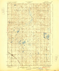
1929 · Coleharbor
USGS Topo · 1:62,500
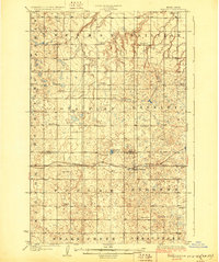
1929 · Benedict
USGS Topo · 1:62,500
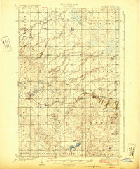
1929 · Kongsberg
USGS Topo · 1:62,500
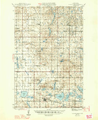
1947 · Turtle Lake
USGS Topo · 1:62,500
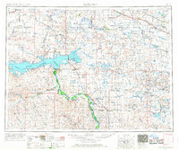
1954 · McClusky
USGS Topo · 1:250,000
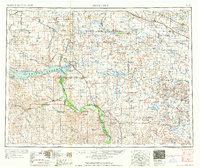
1958 · McClusky
USGS Topo · 1:250,000
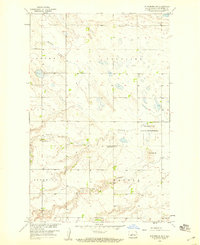
1958 · Kongsberg NE
USGS Topo · 1:24,000
1974 · Benedict SE
USGS Topo · 1:24,000
1974 · Kongsberg SW
USGS Topo · 1:24,000
1974 · Kongsberg NW
USGS Topo · 1:24,000