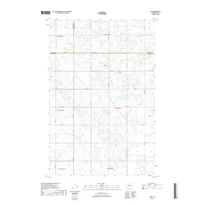
2018 Map of Ruso
USGS Topo · Published 2018About this map
Ruso stands as the primary settlement in this central North Dakota landscape, situated at the meeting point of three counties. The geography is defined by a dense concentration of small glacial prairie potholes and wetlands, with Otis Lake serving as a significant water body in the eastern portion of the survey. A rigid grid of section lines and gravel roads, including 32nd St N, partitions the terrain, reflecting the enduring influence of the Public Land Survey System on the regional layout. Local history is anchored by the Ruso Lutheran Cem, located south of the main township. The boundary between Ward, McHenry, and McLean counties passes directly through this area, highlighting Ruso's position as a cross-county hub for the surrounding agricultural community.
Find a feature on this map
13 named features on this map. Tap any name to fly to it.
Don’t see what you’re looking for? This feature index may not catch every label — zoom into the map to look around manually.
Map Details
Editions of this 2018 Ruso Map
This is the sole edition of this map. No revisions or reprints were ever made.
Other maps of this area
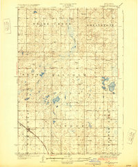
1929 · Coleharbor
USGS Topo · 1:62,500
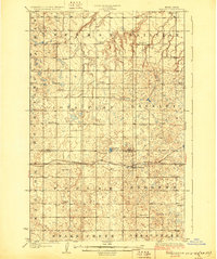
1929 · Benedict
USGS Topo · 1:62,500
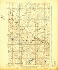
1929 · Kongsberg
USGS Topo · 1:62,500
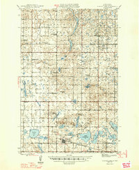
1947 · Turtle Lake
USGS Topo · 1:62,500
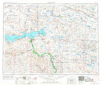
1954 · McClusky
USGS Topo · 1:250,000
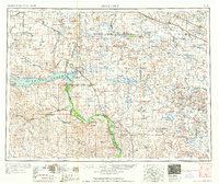
1958 · McClusky
USGS Topo · 1:250,000
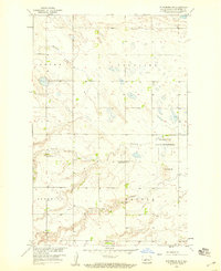
1958 · Kongsberg NE
USGS Topo · 1:24,000
1974 · Benedict SE
USGS Topo · 1:24,000
1974 · Kongsberg SW
USGS Topo · 1:24,000
1974 · Kongsberg NW
USGS Topo · 1:24,000