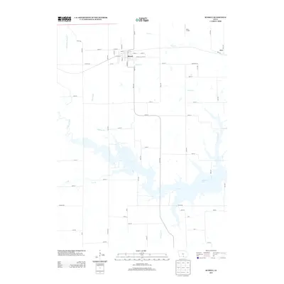
2013 Map of Russell
USGS Topo · Published 2013About this map
The town of Russell serves as the primary hub for this Lucas County landscape, situated amidst a network of rural routes and waterways. To the east, the small settlement of Zero sits near the edge of the survey, while Beck Airport provides a point of aviation infrastructure north of the main township. The southern portion of the map is dominated by the sprawling waters of Rathbun Lake, an artificial reservoir formed by the damming of the Chariton River. This water management system fundamentally altered the local drainage patterns, absorbing the lower reaches of several streams. Historically, the area is defined by its many creeks, including Little White Breast Cr in the northwest and Honey Cr which winds past the town. Smaller tributaries like Ragtown Br and Lost Br cut through the sections, illustrating the intricate hydrography that has shaped the farming and development of this southern Iowa region.
Find a feature on this map
66 named features on this map. Tap any name to fly to it.
Don’t see what you’re looking for? This feature index may not catch every label — zoom into the map to look around manually.
Map Details
Editions of this 2013 Russell Map
This is the sole edition of this map. No revisions or reprints were ever made.
Other maps of this area

1918 · Chariton
USGS Topo · 1:62,500

1924 · Melcher
USGS Topo · 1:62,500

1934 · Humeston
USGS Topo · 1:48,000

1935 · Russell
USGS Topo · 1:62,500

1937 · Corydon
USGS Topo · 1:62,500

1938 · Russell
USGS Topo · 1:62,500

1954 · Centerville
USGS Topo · 1:250,000

1954 · Des Moines
USGS Topo · 1:250,000

1956 · Des Moines
USGS Topo · 1:250,000

1957 · Des Moines
USGS Topo · 1:250,000