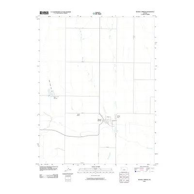
2009 Map of Russell Springs
USGS Topo · Published 2009About this map
Russell Springs sits at a geographic crossroads in the High Plains of western Kansas, where the Smoky Hill River meanders through the southern half of this landscape. The settlement's street grid, featuring Cherry St and Broadway St, remains concentrated near the Russell Springs Dam. To the northwest, the Logan County State Park surrounds a reservoir held by the Logan County State Lake Dam, providing a distinct contrast to the surrounding open range. The topography is defined by the convergence of several waterways, including West Spring Creek and East Spring Creek, which drain southward toward the river. Genealogists can locate the Russell Springs Cemetery north of the main townsite, situated within the Plains boundary. This 2009 survey by the U.S. Geological Survey documents the enduring footprint of this rural community and its reliance on the water systems of Logan County.
Find a feature on this map
20 named features on this map. Tap any name to fly to it.
Don’t see what you’re looking for? This feature index may not catch every label — zoom into the map to look around manually.
Map Details
Editions of this 2009 Russell Springs Map
This is the sole edition of this map. No revisions or reprints were ever made.
Other maps of this area

1954 · Goodland
USGS Topo · 1:250,000

1955 · Scott City
USGS Topo · 1:250,000

1956 · Goodland
USGS Topo · 1:250,000

1957 · Goodland
USGS Topo · 1:250,000

1958 · Scott City
USGS Topo · 1:250,000

1969 · Mc Allaster SE
USGS Topo · 1:24,000

1969 · Russell Springs 2 NE
USGS Topo · 1:24,000

1969 · Russell Springs 2 SE
USGS Topo · 1:24,000

1972 · Russell Springs
USGS Topo · 1:24,000

1972 · Monument
USGS Topo · 1:24,000