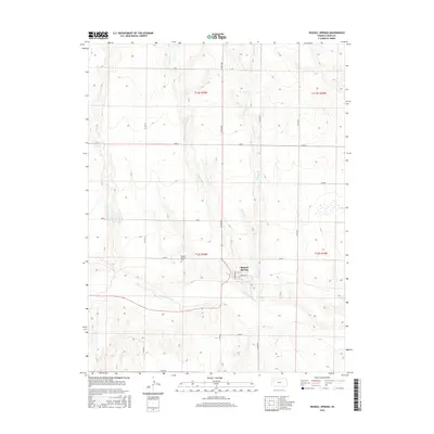
2015 Map of Russell Springs
USGS Topo · Published 2015About this map
Russell Springs serves as the central hub of this high plains landscape, situated near the confluence of Spring Cr and the larger Smoky Hill River. The settlement pattern follows a distinct grid, with Broadway St and Vine St anchoring the town center. Just west of the primary residential area lies the Russell Springs Cem, a significant site for genealogical research in Logan County. The surrounding terrain is defined by a series of north-south drainage systems, including W Spring Cr and E Spring Cr, which carve into the plateau. A network of named roads, such as Seneca, Rawhide, and Mustang, provides a structured overlay to the agricultural and open-range land that characterizes this portion of western Kansas.
Find a feature on this map
19 named features on this map. Tap any name to fly to it.
Don’t see what you’re looking for? This feature index may not catch every label — zoom into the map to look around manually.
Map Details
Editions of this 2015 Russell Springs Map
This is the sole edition of this map. No revisions or reprints were ever made.
Other maps of this area

1954 · Goodland
USGS Topo · 1:250,000

1955 · Scott City
USGS Topo · 1:250,000

1956 · Goodland
USGS Topo · 1:250,000

1957 · Goodland
USGS Topo · 1:250,000

1958 · Scott City
USGS Topo · 1:250,000

1969 · Mc Allaster SE
USGS Topo · 1:24,000

1969 · Russell Springs 2 NE
USGS Topo · 1:24,000

1969 · Russell Springs 2 SE
USGS Topo · 1:24,000

1972 · Russell Springs
USGS Topo · 1:24,000

1972 · Monument
USGS Topo · 1:24,000