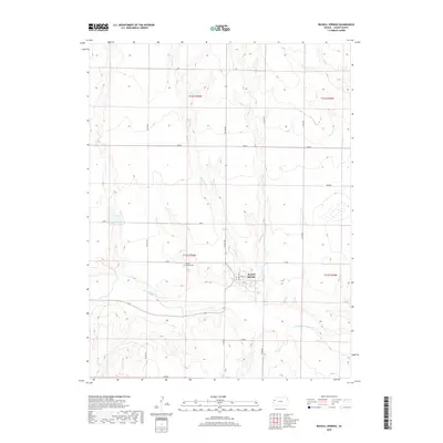
2018 Map of Russell Springs
USGS Topo · Published 2018About this map
Russell Springs sits along the northern banks of the Smoky Hill River, serving as a central point of settlement in this Logan County landscape. The community is defined by a traditional street grid including Vine St and Winona Ave, reflecting its historical role in the region. Just to the west of the town center lies the Russell Springs Cem, a significant site for genealogical research. The local geography is heavily influenced by the drainage patterns of W Spring Cr and E Spring Cr, which converge into Spring Cr before reaching the river. These watercourses have long shaped the placement of local roads like CO RD 260 and CO RD 240, which traverse the surrounding plains. The map also documents named sections such as Plains, Quail, and Seneca, indicating specific land divisions and agricultural or grazing tracts used in the modern era.
Find a feature on this map
23 named features on this map. Tap any name to fly to it.
Don’t see what you’re looking for? This feature index may not catch every label — zoom into the map to look around manually.
Map Details
Editions of this 2018 Russell Springs Map
This is the sole edition of this map. No revisions or reprints were ever made.
Other maps of this area

1954 · Goodland
USGS Topo · 1:250,000

1955 · Scott City
USGS Topo · 1:250,000

1956 · Goodland
USGS Topo · 1:250,000

1957 · Goodland
USGS Topo · 1:250,000

1958 · Scott City
USGS Topo · 1:250,000

1969 · Mc Allaster SE
USGS Topo · 1:24,000

1969 · Russell Springs 2 NE
USGS Topo · 1:24,000

1969 · Russell Springs 2 SE
USGS Topo · 1:24,000

1972 · Russell Springs
USGS Topo · 1:24,000

1972 · Monument
USGS Topo · 1:24,000