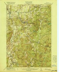
1918 Map of Russell
USGS Topo · Published 1918About this map
The Grass River and Oswegatchie River anchor this 1915 survey of the northern Adirondack foothills, where a high density of rural schoolhouses reveals the reach of early 20th-century settlement. From the Brownsville School in the north to the High Hill School in the south, these local landmarks once served as the social centers for remote farming and timber families. A notable industrial artifact is preserved in the Clifton Furnace Ruins, marking a site of earlier iron production near Big Marsh.
Find a feature on this map
77 named features on this map. Tap any name to fly to it.
Don’t see what you’re looking for? This feature index may not catch every label — zoom into the map to look around manually.
Map Details
Editions of this 1918 Russell Map
5 editions found

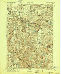
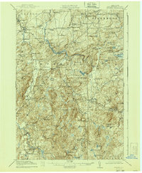
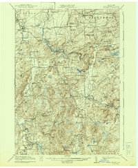
Other maps of this area

1904 · Ogdensburg
USGS Topo · 1:62,500

1905 · Ogdensburg
USGS Topo · 1:62,500

1908 · Potsdam
USGS Topo · 1:62,500

1910 · Canton
USGS Topo · 1:62,500

1911 · Canton
USGS Topo · 1:62,500

1913 · Lake Bonaparte
USGS Topo · 1:62,500

1915 · Gouverneur
USGS Topo · 1:62,500

1915 · Russell
USGS Topo · 1:62,500

1916 · Lake Bonaparte
USGS Topo · 1:62,500

1916 · Oswegatchie
USGS Topo · 1:62,500