
1918 Map of Russell
USGS Topo · Published 1918About this map
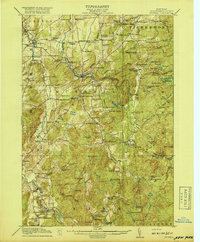
Clifton Furnace Ruins stands as a testament to the North Country's early industrial efforts in this 1915 survey of central St. Lawrence County. The landscape is defined by the winding courses of the Grass River and the Oswegatchie River, which anchored a network of crossroads settlements and family-named schools. Small rural hubs like Russell, Hermon, and Edwards are meticulously documented alongside numerous "Corners"—such as Gibbs Corners and Hamiltons Corners—that marked the social geography of the era.
Find a feature on this map
133 named features on this map. Tap any name to fly to it.
Don’t see what you’re looking for? This feature index may not catch every label — zoom into the map to look around manually.
Map Details
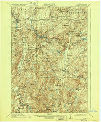
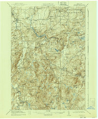
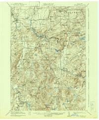
Editions of this 1918 Russell Map
5 editions found
Other maps of this area

1904 · Ogdensburg
USGS Topo · 1:62,500

1905 · Ogdensburg
USGS Topo · 1:62,500

1908 · Potsdam
USGS Topo · 1:62,500

1910 · Canton
USGS Topo · 1:62,500

1911 · Canton
USGS Topo · 1:62,500

1913 · Lake Bonaparte
USGS Topo · 1:62,500

1915 · Gouverneur
USGS Topo · 1:62,500

1915 · Russell
USGS Topo · 1:62,500

1916 · Lake Bonaparte
USGS Topo · 1:62,500

1916 · Oswegatchie
USGS Topo · 1:62,500