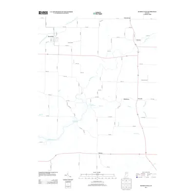
2013 Map of Russellville
USGS Topo · Published 2013About this map
Russellville serves as the primary hub in this northwestern Putnam County landscape, where a grid of rural roads connects several small, historic settlements. The area is defined by the winding course of Big Raccoon Cr, which feeds into the waters of Cecil M Harden Lake. Other notable communities situated along these backroads include Parkersburg, Raccoon, and Fincastle, many of which developed at the intersections of local county routes.
Find a feature on this map
61 named features on this map. Tap any name to fly to it.
Don’t see what you’re looking for? This feature index may not catch every label — zoom into the map to look around manually.
Map Details
Editions of this 2013 Russellville Map
This is the sole edition of this map. No revisions or reprints were ever made.
Other maps of this area

1949 · Alamo
USGS Topo · 1:24,000

1951 · Clinton Falls
USGS Topo · 1:24,000

1951 · Mansfield
USGS Topo · 1:24,000

1953 · Indianapolis
USGS Topo · 1:250,000

1955 · Russellville
USGS Topo · 1:24,000

1956 · Indianapolis
USGS Topo · 1:250,000

1956 · New Market
USGS Topo · 1:24,000

1957 · Indianapolis
USGS Topo · 1:250,000

1958 · Roachdale
USGS Topo · 1:24,000

1958 · Ladoga
USGS Topo · 1:24,000