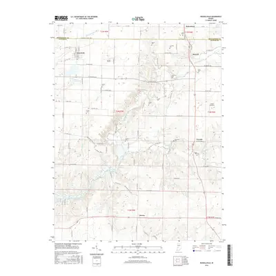
2016 Map of Russellville
USGS Topo · Published 2016About this map
Russellville and Parkersburg anchor this agricultural landscape along the border of Montgomery and Putnam counties. The area is defined by the winding course of Big Raccoon Creek, which is fed by numerous tributaries including Byrd Br, Ramp Creek, and Peters Cr. This network of waterways shaped the early placement of rural centers and family farmsteads, many of which are marked today by a high concentration of ancestral burial grounds.
Find a feature on this map
59 named features on this map. Tap any name to fly to it.
Don’t see what you’re looking for? This feature index may not catch every label — zoom into the map to look around manually.
Map Details
Editions of this 2016 Russellville Map
This is the sole edition of this map. No revisions or reprints were ever made.
Other maps of this area

1949 · Alamo
USGS Topo · 1:24,000

1951 · Clinton Falls
USGS Topo · 1:24,000

1951 · Mansfield
USGS Topo · 1:24,000

1953 · Indianapolis
USGS Topo · 1:250,000

1955 · Russellville
USGS Topo · 1:24,000

1956 · Indianapolis
USGS Topo · 1:250,000

1956 · New Market
USGS Topo · 1:24,000

1957 · Indianapolis
USGS Topo · 1:250,000

1958 · Roachdale
USGS Topo · 1:24,000

1958 · Ladoga
USGS Topo · 1:24,000