Loading...
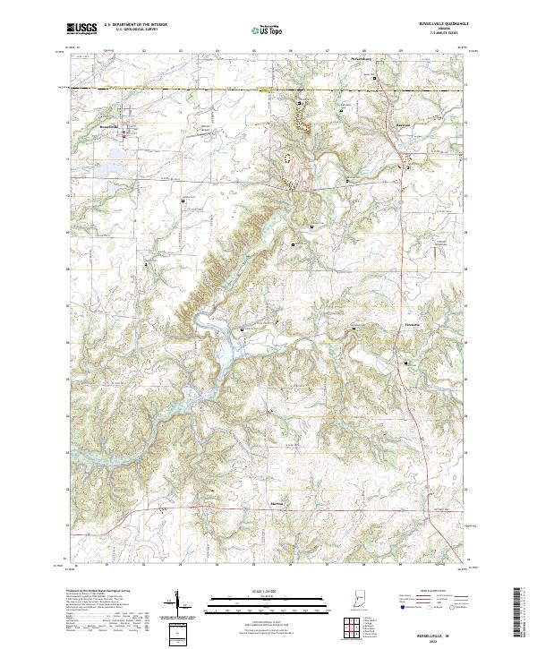
Loading map...2022 Map of Russellville
USGS Topo · Published 2022About this map
Russellville anchors the northwestern corner of this territory, where the grid of Putnam County meets the Montgomery County line. The landscape is defined by the drainage of Big Raccoon Creek and its many tributaries, including Ramp Creek, Byrd Br, and Owl Cr. These waterways carve a winding path through the agricultural uplands, creating a complex topography that contrasts with the straight-line reliability of roads like W State Rd 236.
Find a feature on this map
54 named features on this map. Tap any name to fly to it.
Don’t see what you’re looking for? This feature index may not catch every label — zoom into the map to look around manually.
Map Details
Date Portrayed2022
Date Published2022
PublisherU.S. Geological Survey
Map TypeTopographic
Scale1:24000
Physical Dimensions24 x 29 inches
Editions of this 2022 Russellville Map
This is the sole edition of this map. No revisions or reprints were ever made.
Historical Maps of Fincastle Through Time
3 maps found

Featured Locations
Source Details
SourceU.S. Geological Survey
CopyrightPublic Domain