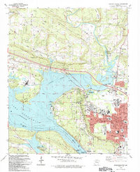
1993 Map of Russellville West
USGS Topo · Published 1993About this map
Arkansas Tech University and the expansion of Russellville dominate this late twentieth-century landscape where education and energy meet the Arkansas River. The map documents a significant industrial and historical intersection, featuring the prominent Nuclear Powerplant on the western shore of Lake Dardanelle. This reservoir, created by the Dardanelle Lock and Dam, transformed the Illinois Bayou and the surrounding terrain of London Mountain and Norristown Mountain.
Find a feature on this map
70 named features on this map. Tap any name to fly to it.
Don’t see what you’re looking for? This feature index may not catch every label — zoom into the map to look around manually.
Map Details
Editions of this 1993 Russellville West Map
This is the sole edition of this map. No revisions or reprints were ever made.
Other maps of this area

1888 · Dardanelle #4
USGS Topo · 1:62,500

1888 · Dardanelle #2
USGS Topo · 1:62,500

1888 · Dardanelle #1
USGS Topo · 1:62,500

1888 · Dardanelle #3
USGS Topo · 1:62,500

1890 · Dardanelle
USGS Topo · 1:125,000

1956 · Russellville
USGS Topo · 1:250,000
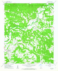
1961 · Dover
USGS Topo · 1:24,000
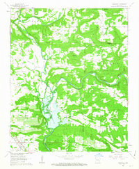
1962 · Knoxville
USGS Topo · 1:24,000
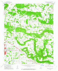
1962 · Russellville East
USGS Topo · 1:24,000

1962 · Delaware
USGS Topo · 1:24,000