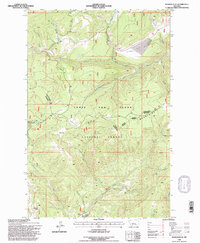
1995 Map of Russian Flat
USGS Topo · Published 1997About this map
The high alpine meadows and resource-rich valleys of the Little Belt Mountains dominate this landscape, which lies primarily within the Lewis and Clark National Forest. The map documents a significant intersection of natural features and early industrial attempts, particularly in the southern reaches where prospects and mining operations like the New Deal Mine and Jumbo Mine are noted. These extraction sites suggest a history of prospecting along Basin Creek and Kents Gulch.
Find a feature on this map
31 named features on this map. Tap any name to fly to it.
Don’t see what you’re looking for? This feature index may not catch every label — zoom into the map to look around manually.
Map Details
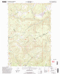
Editions of this 1995 Russian Flat Map
2 editions found
Other maps of this area

1886 · Little Belt Mts.
USGS Topo · 1:250,000

1894 · Little Belt Mts.
USGS Topo · 1:250,000

1897 · Little Belt Mts.
USGS Topo · 1:250,000

1898 · Little Belt Mts.
USGS Topo · 1:250,000

1902 · Little Belt Mts.
USGS Topo · 1:250,000

1948 · White Sulphur Springs
USGS Topo · 1:250,000

1958 · White Sulphur Springs
USGS Topo · 1:250,000

1961 · White Sulphur Springs
USGS Topo · 1:250,000
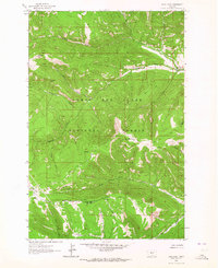
1961 · Sand Point
USGS Topo · 1:24,000
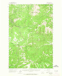
1961 · Neihart
USGS Topo · 1:62,500