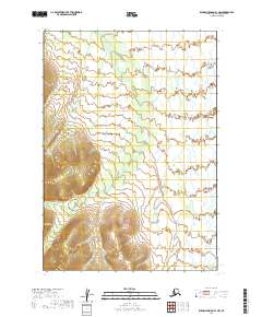
2019 Map of Russian Mission A-1 NW
USGS Topo · Published 2019About this map
Swift Creek defines the hydrography of this wilderness region, meandering through the landscape as it drains the northern slopes. The terrain is characterized by dramatic elevation changes, with ridges rising steeply between the creek beds and the surrounding valleys. This 2019 survey documents the intricate drainage patterns of the Sawpit Creek area within the t12n r57w and t13n r56w townships. The absence of roads or permanent structures on the sheet underscores the remote nature of this part of the Bethel Census Area, where the topography remains dictated by the natural flow of water and the underlying geology of the Alaskan interior.
Find a feature on this map
6 named features on this map. Tap any name to fly to it.
Don’t see what you’re looking for? This feature index may not catch every label — zoom into the map to look around manually.
Map Details
Editions of this 2019 Russian Mission A-1 NW Map
This is the sole edition of this map. No revisions or reprints were ever made.
Other maps of this area

1947 · Russian Mission
USGS Topo · 1:250,000

1950 · Russian Mission
USGS Topo · 1:250,000

1952 · Russian Mission B-2
USGS Topo · 1:63,360
1952 · Russian Mission B-1
USGS Topo · 1:63,360
1979 · Russian Mission A-1
USGS Topo · 1:63,360

1979 · Russian Mission A-2
USGS Topo · 1:63,360

1980 · Russian Mission
USGS Topo · 1:250,000
2019 · Russian Mission B-1 SW
USGS Topo · 1:25,000
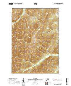
2019 · Russian Mission A-2 NE
USGS Topo · 1:25,000
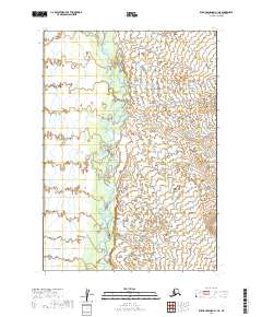
2019 · Russian Mission A-1 NE
USGS Topo · 1:25,000