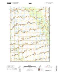
2019 Map of Russian Mission B-1 SW
USGS Topo · Published 2019About this map
The Aniak River meanders across this landscape in the Bethel Census Area, joined by the winding course of the Buckstock River as it flows through the northern reaches of the quadrangle. This area is characterized by an intricate network of wetlands and seasonal watercourses, typical of the Yukon-Kuskokwim Delta region. In the southwestern corner, Swift Cr cuts through the terrain, illustrating the complex hydrography of the Alaskan interior where shifting river channels and expansive marshlands dominate the environment. The absence of permanent road infrastructure or settlements within these township boundaries emphasizes the seasonal and water-dependent nature of travel and subsistence in this part of Alaska during the early twenty-first century.
Find a feature on this map
9 named features on this map. Tap any name to fly to it.
Don’t see what you’re looking for? This feature index may not catch every label — zoom into the map to look around manually.
Map Details
Editions of this 2019 Russian Mission B-1 SW Map
This is the sole edition of this map. No revisions or reprints were ever made.
Other maps of this area

1947 · Russian Mission
USGS Topo · 1:250,000

1950 · Russian Mission
USGS Topo · 1:250,000

1952 · Russian Mission B-2
USGS Topo · 1:63,360
1952 · Russian Mission B-1
USGS Topo · 1:63,360
1979 · Russian Mission A-1
USGS Topo · 1:63,360

1979 · Russian Mission A-2
USGS Topo · 1:63,360

1980 · Russian Mission
USGS Topo · 1:250,000
2019 · Russian Mission A-2 NE
USGS Topo · 1:25,000
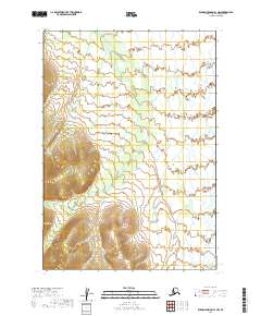
2019 · Russian Mission A-1 NW
USGS Topo · 1:25,000
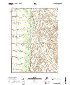
2019 · Russian Mission A-1 NE
USGS Topo · 1:25,000