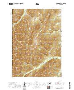
2019 Map of Russian Mission A-2 NE
USGS Topo · Published 2019About this map
Discovery Creek and the surrounding high country of the Bethel Census Area define this 2019 survey of a remote interior landscape. The map focuses on the complex drainage patterns of the region, where Discovery Cr flows through the northern reaches of the quadrangle. Moving south, the terrain is carved by the headwaters of Tabasco Cr, Sawpit Cr, and Swift Cr. These water bodies are the primary landmarks in an area dominated by sharp elevation changes and the systematic grid of the Public Land Survey System, including portions of t13n r57w and t12n r58w. The absence of developed roads or named settlements underscores the isolated character of this Alaskan wilderness during the early twenty-first century.
Find a feature on this map
8 named features on this map. Tap any name to fly to it.
Don’t see what you’re looking for? This feature index may not catch every label — zoom into the map to look around manually.
Map Details
Editions of this 2019 Russian Mission A-2 NE Map
This is the sole edition of this map. No revisions or reprints were ever made.
Other maps of this area

1947 · Russian Mission
USGS Topo · 1:250,000

1950 · Russian Mission
USGS Topo · 1:250,000

1952 · Russian Mission B-2
USGS Topo · 1:63,360
1952 · Russian Mission B-1
USGS Topo · 1:63,360
1979 · Russian Mission A-1
USGS Topo · 1:63,360

1979 · Russian Mission A-2
USGS Topo · 1:63,360

1980 · Russian Mission
USGS Topo · 1:250,000
2019 · Russian Mission B-1 SW
USGS Topo · 1:25,000
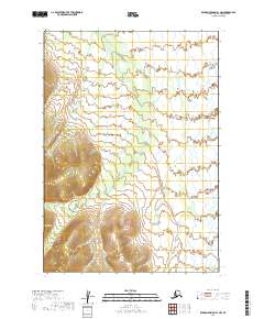
2019 · Russian Mission A-1 NW
USGS Topo · 1:25,000
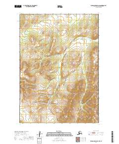
2019 · Russian Mission A-2 NW
USGS Topo · 1:25,000