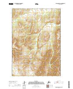
2019 Map of Russian Mission A-2 NW
USGS Topo · Published 2019About this map
Discovery Creek flows through the center of this terrain in the Russian Mission A-2 NW quadrangle, carving a path through the interior of the Bethel Census Area. This landscape is primarily defined by its hydrography and elevation, where seasonal drainages like Bear Creek and Discovery Creek shape the drainage patterns between prominent ridge lines. The absence of named settlements, roads, or landing strips on this sheet highlights a pocket of wilderness where surveying is focused on the fundamental physical geography and township boundaries including t13n r58w and t12n r58w. Geologists and researchers can study the intricate contour data and wetland layers to understand the hydrologic relationship between these upland headwaters and the larger watershed systems of Western Alaska.
Find a feature on this map
6 named features on this map. Tap any name to fly to it.
Don’t see what you’re looking for? This feature index may not catch every label — zoom into the map to look around manually.
Map Details
Editions of this 2019 Russian Mission A-2 NW Map
This is the sole edition of this map. No revisions or reprints were ever made.
Other maps of this area

1947 · Russian Mission
USGS Topo · 1:250,000

1950 · Russian Mission
USGS Topo · 1:250,000

1952 · Russian Mission B-2
USGS Topo · 1:63,360

1952 · Russian Mission B-3
USGS Topo · 1:63,360

1954 · Russian Mission A-3
USGS Topo · 1:63,360

1979 · Russian Mission A-2
USGS Topo · 1:63,360

1980 · Russian Mission
USGS Topo · 1:250,000
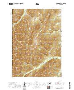
2019 · Russian Mission A-2 NE
USGS Topo · 1:25,000
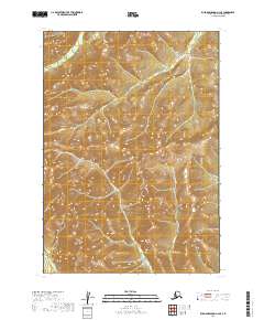
2019 · Russian Mission A-2 SE
USGS Topo · 1:25,000
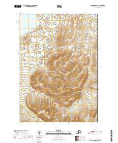
2019 · Russian Mission B-3 SE
USGS Topo · 1:25,000