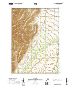
2019 Map of Russian Mission A-1 SW
USGS Topo · Published 2019About this map
Salmon River and Kipchuk River meander through this remote interior Alaskan wilderness, as documented in 2019. The landscape is dominated by the steep, unnamed ridgeline that runs along the western edge of the quadrangle, reaching elevations over 1,500 feet. To the east, the terrain transitions into a complex system of marshes and low-lying wetlands where the river systems converge. The cartography highlights the natural drainage patterns of Pearl Cr as it feeds into the larger valley systems between the Kuskokwim and Yukon river basins. This map provides a precise look at the township and range lines, including t11n r57w and t12n r56w, which define the administrative boundaries of this uninhabited portion of the Bethel Census Area.
Find a feature on this map
7 named features on this map. Tap any name to fly to it.
Don’t see what you’re looking for? This feature index may not catch every label — zoom into the map to look around manually.
Map Details
Editions of this 2019 Russian Mission A-1 SW Map
This is the sole edition of this map. No revisions or reprints were ever made.
Other maps of this area

1947 · Russian Mission
USGS Topo · 1:250,000

1950 · Russian Mission
USGS Topo · 1:250,000

1950 · Bethel
USGS Topo · 1:250,000

1979 · Bethel D-2
USGS Topo · 1:63,360
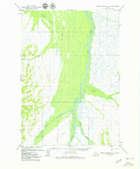
1979 · Russian Mission A-1
USGS Topo · 1:63,360
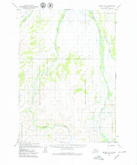
1979 · Bethel D-1
USGS Topo · 1:63,360

1979 · Russian Mission A-2
USGS Topo · 1:63,360

1980 · Russian Mission
USGS Topo · 1:250,000

1980 · Bethel
USGS Topo · 1:250,000
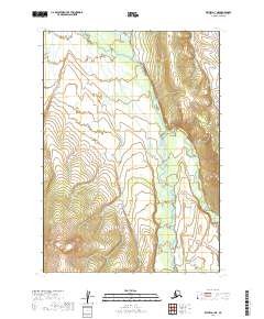
2019 · Bethel D-1 NE
USGS Topo · 1:25,000