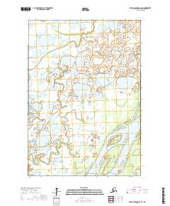
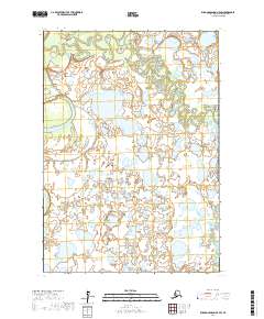
2017 Map of Russian Mission A-6 NE
USGS Topo · Published 2017About this map
Nelson Island anchors the southern reaches of this landscape, surrounded by the intricate waterways of the Yukon-Kuskokwim Delta. The Kuskokwim River flows through the southeastern portion of the map, carving wide channels through a terrain dominated by expansive wetlands and interconnected tundra ponds. To the north, the Gweek River winds across the surveyor's townships of t13n r66w and t13n r65w, illustrating the complex drainage patterns of this subarctic region. The environment is defined by its saturated soils and seasonal water movement, as reflected in the detailed hydrography recorded by the U.S. Geological Survey in collaboration with the FWS National Wetlands Inventory. This 2017 study provides an essential spatial reference for the traditional lands within the Bethel Census Area, documenting the geography before further environmental shifts alter these coastal drainage systems.
Find a feature on this map
7 named features on this map. Tap any name to fly to it.
Don’t see what you’re looking for? This feature index may not catch every label — zoom into the map to look around manually.
Map Details
Editions of this 2017 Russian Mission A-6 NE Map
This is the sole edition of this map. No revisions or reprints were ever made.
Other maps of this area

1947 · Russian Mission
USGS Topo · 1:250,000

1950 · Russian Mission
USGS Topo · 1:250,000
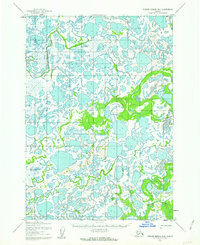
1952 · Russian Mission B-6
USGS Topo · 1:63,360

1954 · Russian Mission B-5
USGS Topo · 1:63,360

1954 · Russian Mission A-6
USGS Topo · 1:63,360

1954 · Russian Mission A-5
USGS Topo · 1:63,360

1980 · Russian Mission
USGS Topo · 1:250,000
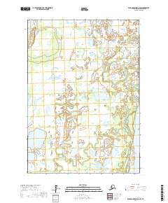
2017 · Russian Mission A-6 SW
USGS Topo · 1:25,000
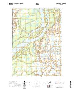
2017 · Russian Mission A-5 NW
USGS Topo · 1:25,000
2017 · Russian Mission A-5 SW
USGS Topo · 1:25,000