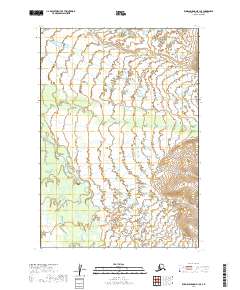
2019 Map of Russian Mission B-1 SE
USGS Topo · Published 2019About this map
Buckstock River meanders across this vast wetland landscape in the Bethel Census Area, illustrating the complex hydrology of the Alaska interior. The winding path of the river, alongside the Aniak River in the southwestern portion of the map, defines the shifting drainage patterns of this alluvial territory. Unlike more developed regions, this area is characterized by an absence of permanent human settlements or infrastructure, emphasizing a wilderness dominated by seasonal water cycles. The map serves as a precise record of these watercourses as they appeared in 2019, providing essential data for those studying the remote river systems of western Alaska.
Find a feature on this map
8 named features on this map. Tap any name to fly to it.
Don’t see what you’re looking for? This feature index may not catch every label — zoom into the map to look around manually.
Map Details
Editions of this 2019 Russian Mission B-1 SE Map
This is the sole edition of this map. No revisions or reprints were ever made.
Other maps of this area

1947 · Russian Mission
USGS Topo · 1:250,000

1950 · Russian Mission
USGS Topo · 1:250,000

1950 · Sleetmute
USGS Topo · 1:250,000
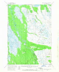
1952 · Russian Mission B-1
USGS Topo · 1:63,360

1954 · Sleetmute
USGS Topo · 1:250,000
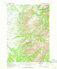
1954 · Sleetmute A-8
USGS Topo · 1:63,360
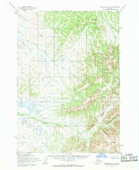
1954 · Sleetmute B-8
USGS Topo · 1:63,360
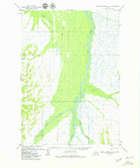
1979 · Russian Mission A-1
USGS Topo · 1:63,360

1980 · Russian Mission
USGS Topo · 1:250,000
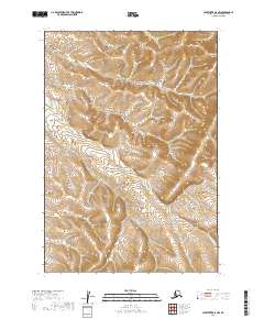
2019 · Sleetmute B-8 NW
USGS Topo · 1:25,000