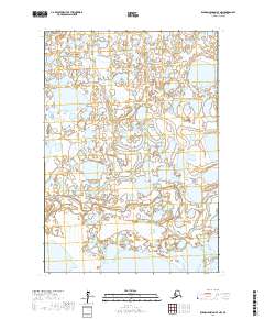
2017 Map of Russian Mission B-7 NW
USGS Topo · Published 2017About this map
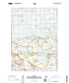
The Johnson River meanders across this subarctic terrain in the Bethel Census Area, defining a complex network of wetlands and small lakes that characterize this portion of the Yukon-Kuskokwim Delta. This 2017 survey by the U.S. Geological Survey reveals a landscape dominated by water and shifting alluvial patterns, with very few named landmarks beyond the primary river system. The vast density of ponds and seasonal wetlands captured here highlights the hydrological complexity of this roadless region of Alaska. Such maps are critical for understanding the environmental flux of the delta, as the shifting course of the river and the formation of new thermokarst lakes continuously reshape the local topography.
Find a feature on this map
5 named features on this map. Tap any name to fly to it.
Don’t see what you’re looking for? This feature index may not catch every label — zoom into the map to look around manually.
Map Details
Editions of this 2017 Russian Mission B-7 NW Map
This is the sole edition of this map. No revisions or reprints were ever made.
Other maps of this area

1947 · Russian Mission
USGS Topo · 1:250,000

1950 · Russian Mission
USGS Topo · 1:250,000

1952 · Russian Mission C-8
USGS Topo · 1:63,360
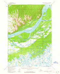
1952 · Russian Mission C-7
USGS Topo · 1:63,360
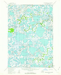
1952 · Russian Mission B-7
USGS Topo · 1:63,360

1952 · Russian Mission B-8
USGS Topo · 1:63,360

1980 · Russian Mission
USGS Topo · 1:250,000
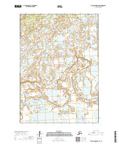
2017 · Russian Mission B-8 NE
USGS Topo · 1:25,000
2017 · Russian Mission B-8 SE
USGS Topo · 1:25,000
2017 · Russian Mission C-7 SW
USGS Topo · 1:25,000