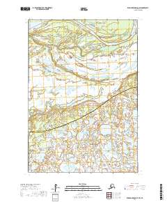
2017 Map of Russian Mission C-7 SW
USGS Topo · Published 2017About this map
Yukon River waters dominate the northern reaches of this remote Alaskan landscape, where the main channel meets the winding path of Iekes Slough. This 2017 survey documents a complex aqueous environment of the Yukon-Kuskokwim Delta, featuring Roosevelt Island as a prominent landmass amidst the shifting waterways. The map captures a significant administrative boundary where the Kusilvak Census Area meets the Bethel Census Area, a line that cuts diagonally across a terrain defined by endless wetlands and small ponds. This region remains largely unsettled, showing the natural state of the river system before it reaches the Bering Sea. The absence of roads or structures highlights the reliance on river navigation for access to this portion of the interior.
Find a feature on this map
10 named features on this map. Tap any name to fly to it.
Don’t see what you’re looking for? This feature index may not catch every label — zoom into the map to look around manually.
Map Details
Editions of this 2017 Russian Mission C-7 SW Map
This is the sole edition of this map. No revisions or reprints were ever made.
Other maps of this area

1947 · Russian Mission
USGS Topo · 1:250,000

1950 · Russian Mission
USGS Topo · 1:250,000

1952 · Russian Mission C-8
USGS Topo · 1:63,360
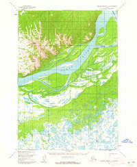
1952 · Russian Mission C-7
USGS Topo · 1:63,360
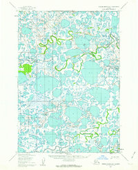
1952 · Russian Mission B-7
USGS Topo · 1:63,360

1952 · Russian Mission B-8
USGS Topo · 1:63,360

1980 · Russian Mission
USGS Topo · 1:250,000
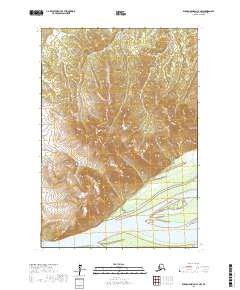
2017 · Russian Mission C-7 NW
USGS Topo · 1:25,000
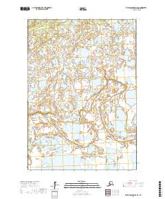
2017 · Russian Mission B-8 NE
USGS Topo · 1:25,000
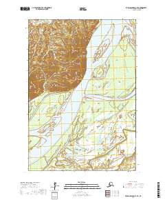
2017 · Russian Mission C-7 NE
USGS Topo · 1:25,000