
1952 Map of Russian Mission C-8
USGS Topo · Published 1962About this map
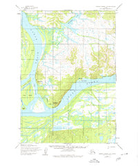
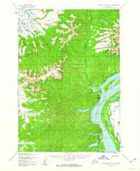
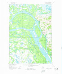
The Yukon River carves a complex course through this portion of the Alaska wilderness, where the landscape is defined by the shifting waters of Middle Slough and Cross Slough. Settlement patterns in the early 1950s reflect a reliance on these waterways, with small outposts like Ohogamut and clusters of Cabins situated along the riverbanks. Near the seasonal encampment of Ohogamut, a Cem and the prominent Roundabout Mountain serve as local landmarks in an otherwise fluid environment of islands and bars like Blade Island and Willow Island. North of the main river channel, Engineer Lake and Engineer Creek drain the upland terrain. This survey also records a Winter Trail cutting through the lowlands, providing a terrestrial link between the river camps of Toklik and Kakamut when the waters and marshes freeze over.
Find a feature on this map
17 named features on this map. Tap any name to fly to it.
Don’t see what you’re looking for? This feature index may not catch every label — zoom into the map to look around manually.
Map Details
Editions of this 1952 Russian Mission C-8 Map
2 editions found
Other maps of this area

1947 · Russian Mission
USGS Topo · 1:250,000

1950 · Russian Mission
USGS Topo · 1:250,000

1951 · Marshall
USGS Topo · 1:250,000
1952 · Russian Mission C-7
USGS Topo · 1:63,360
1952 · Russian Mission D-8
USGS Topo · 1:63,360
1952 · Russian Mission B-7
USGS Topo · 1:63,360
1952 · Russian Mission D-7
USGS Topo · 1:63,360

1952 · Russian Mission B-8
USGS Topo · 1:63,360

1952 · Marshall C-1
USGS Topo · 1:63,360
1952 · Marshall D-1
USGS Topo · 1:63,360