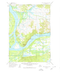
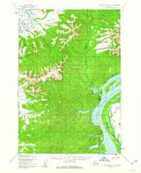
1952 Map of Russian Mission C-8
USGS Topo · Published 1980About this map
The Yukon River dominates this Alaskan landscape, weaving through a complex network of waterways including Middle Slough, Cross Slough, and Washburn Slough. This 1952 study captures the seasonal and subsistence infrastructure of the region, where a Winter Trail provides essential overland passage when the river ways are impassable. Local habitation and history are anchored by clusters such as Toklik, Kakamut, and the Akahamut (Site), alongside a lone Cem that marks the area's ancestral ties.
Find a feature on this map
24 named features on this map. Tap any name to fly to it.
Don’t see what you’re looking for? This feature index may not catch every label — zoom into the map to look around manually.
Map Details
Editions of this 1952 Russian Mission C-8 Map
2 editions found
Other maps of this area

1947 · Russian Mission
USGS Topo · 1:250,000

1950 · Russian Mission
USGS Topo · 1:250,000

1951 · Marshall
USGS Topo · 1:250,000

1952 · Russian Mission C-8
USGS Topo · 1:63,360
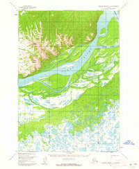
1952 · Russian Mission C-7
USGS Topo · 1:63,360
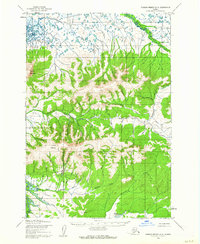
1952 · Russian Mission D-8
USGS Topo · 1:63,360
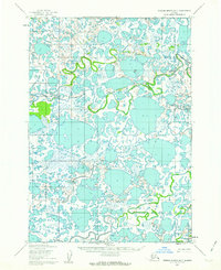
1952 · Russian Mission B-7
USGS Topo · 1:63,360
1952 · Russian Mission D-7
USGS Topo · 1:63,360

1952 · Russian Mission B-8
USGS Topo · 1:63,360

1952 · Marshall C-1
USGS Topo · 1:63,360