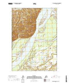
2017 Map of Russian Mission C-7 NE
USGS Topo · Published 2017About this map
The Yukon River dominates this landscape in the Kusilvak Census Area, carved by a complex network of side channels and islands. Rising above the western riverbank, Mt Olive provides a significant landmark in a region otherwise characterized by extensive wetlands and braided waterways. The map illustrates the shifting hydrology of the interior, where features like Portage Slough and Thirtytwo Kanyua Slough divert water around large landmasses such as Esther Island and Flora Island.
Find a feature on this map
13 named features on this map. Tap any name to fly to it.
Don’t see what you’re looking for? This feature index may not catch every label — zoom into the map to look around manually.
Map Details
Editions of this 2017 Russian Mission C-7 NE Map
This is the sole edition of this map. No revisions or reprints were ever made.
Other maps of this area

1947 · Russian Mission
USGS Topo · 1:250,000

1950 · Russian Mission
USGS Topo · 1:250,000
1952 · Russian Mission C-7
USGS Topo · 1:63,360
1952 · Russian Mission D-6
USGS Topo · 1:63,360
1952 · Russian Mission D-7
USGS Topo · 1:63,360
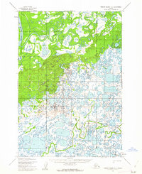
1952 · Russian Mission C-6
USGS Topo · 1:63,360

1980 · Russian Mission
USGS Topo · 1:250,000
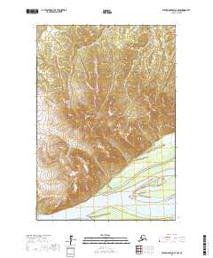
2017 · Russian Mission C-7 NW
USGS Topo · 1:25,000
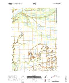
2017 · Russian Mission D-6 SW
USGS Topo · 1:25,000
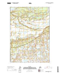
2017 · Russian Mission C-7 SW
USGS Topo · 1:25,000