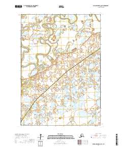
2017 Map of Russian Mission C-6 NE
USGS Topo · Published 2017About this map
Talbiksok River meanders through this vast wetland landscape in the Yukon-Kuskokwim Delta region. The map documents a sparsely populated but geographically complex terrain defined by shifting watercourses and extensive marshlands. A significant administrative division bisects the area, marking the boundary between the Kusilvak Census Area and the Bethel Census Area. This 2017 survey by the U.S. Geological Survey provides a precise record of the hydrographic patterns and land survey townships, including t19n r65w and t18n r64w. The lack of road infrastructure or named settlements highlights the remote character of this Alaskan interior, where the natural drainage of the river system remains the primary geographic feature.
Find a feature on this map
6 named features on this map. Tap any name to fly to it.
Don’t see what you’re looking for? This feature index may not catch every label — zoom into the map to look around manually.
Map Details
Editions of this 2017 Russian Mission C-6 NE Map
This is the sole edition of this map. No revisions or reprints were ever made.
Other maps of this area

1947 · Russian Mission
USGS Topo · 1:250,000

1950 · Russian Mission
USGS Topo · 1:250,000
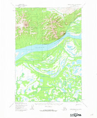
1952 · Russian Mission D-6
USGS Topo · 1:63,360

1952 · Russian Mission C-5
USGS Topo · 1:63,360
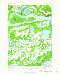
1952 · Russian Mission D-5
USGS Topo · 1:63,360
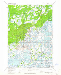
1952 · Russian Mission C-6
USGS Topo · 1:63,360

1980 · Russian Mission
USGS Topo · 1:250,000
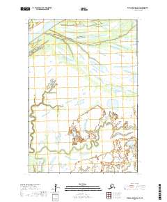
2017 · Russian Mission D-6 SW
USGS Topo · 1:25,000
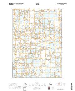
2017 · Russian Mission C-6 SE
USGS Topo · 1:25,000
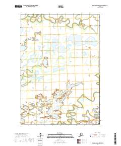
2017 · Russian Mission D-5 SW
USGS Topo · 1:25,000