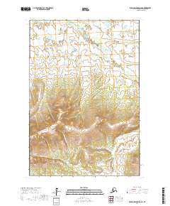
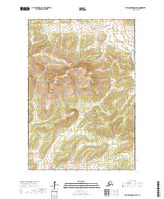
2017 Map of Russian Mission D-8 NE
USGS Topo · Published 2017About this map
The Kuyukutuk River meanders through the northern lowlands of this West Alaska landscape, transitioning into the rising elevation of the interior as seen in the 2017 survey. The drainage system is particularly well-defined, featuring the E Fork Kuyukutuk River and several smaller tributaries such as Whiskey Cr and Saint Amand Cr. In the southern half of the quadrangle, the terrain becomes more relief-heavy, where the headwaters of Edgar Cr, Stella Cr, and Brehard Cr carve through the upland slopes.
Find a feature on this map
11 named features on this map. Tap any name to fly to it.
Don’t see what you’re looking for? This feature index may not catch every label — zoom into the map to look around manually.
Map Details
Editions of this 2017 Russian Mission D-8 NE Map
This is the sole edition of this map. No revisions or reprints were ever made.
Other maps of this area

1947 · Russian Mission
USGS Topo · 1:250,000

1950 · Russian Mission
USGS Topo · 1:250,000

1951 · Holy Cross
USGS Topo · 1:250,000

1952 · Holy Cross A-6
USGS Topo · 1:63,360

1952 · Holy Cross
USGS Topo · 1:250,000
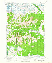
1952 · Russian Mission D-8
USGS Topo · 1:63,360
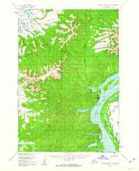
1952 · Russian Mission D-7
USGS Topo · 1:63,360

1980 · Russian Mission
USGS Topo · 1:250,000
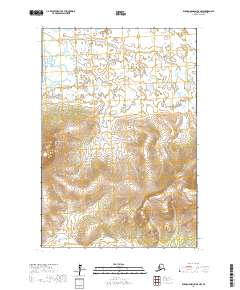
2017 · Russian Mission D-8 NW
USGS Topo · 1:25,000
2017 · Russian Mission D-8 SE
USGS Topo · 1:25,000