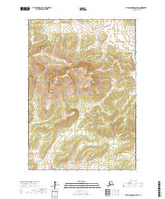
2017 Map of Russian Mission D-8 SE
USGS Topo · Published 2017About this map
The W Fork Kuyukutuk River and S Fork Kuyukutuk River weave through this section of the Kusilvak Census Area, defining a landscape dominated by complex drainage networks and wetlands. The northern reaches are characterized by numerous small tributaries including Dads Cr, Johns Cr, and Bella Cr, while the southern terrain is anchored by the presence of Engineer Lake. This remote Alaskan geography is structured by the Public Land Survey System, with township boundaries like t20n r69w and t20n r68w providing the only human-imposed grid over the wilderness. The concentration of named streams such as Faith Cr and Spruce Cr highlights the intricate hydrologic patterns essential for navigating this roadless subarctic environment.
Find a feature on this map
16 named features on this map. Tap any name to fly to it.
Don’t see what you’re looking for? This feature index may not catch every label — zoom into the map to look around manually.
Map Details
Editions of this 2017 Russian Mission D-8 SE Map
This is the sole edition of this map. No revisions or reprints were ever made.
Other maps of this area

1947 · Russian Mission
USGS Topo · 1:250,000

1950 · Russian Mission
USGS Topo · 1:250,000

1952 · Russian Mission C-8
USGS Topo · 1:63,360
1952 · Russian Mission C-7
USGS Topo · 1:63,360
1952 · Russian Mission D-8
USGS Topo · 1:63,360
1952 · Russian Mission D-7
USGS Topo · 1:63,360

1980 · Russian Mission
USGS Topo · 1:250,000
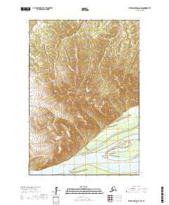
2017 · Russian Mission C-7 NW
USGS Topo · 1:25,000
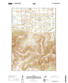
2017 · Russian Mission D-8 NW
USGS Topo · 1:25,000
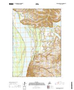
2017 · Russian Mission C-8 NW
USGS Topo · 1:25,000