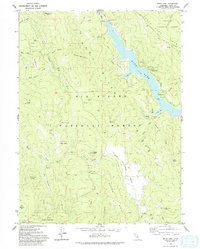
1978 Map of Ruth Lake
USGS Topo · Published 1993About this map
Ruth Lake serves as the dominant feature of this Trinity County landscape, formed by the Robert W Matthews Dam along the Mad River. The map captures a transition between the Six Rivers National Forest and Trinity National Forest, where the topography is defined by prominent ridges like Hetten Ridge and deep river valleys. The presence of the Ueland Place (Site) and the Old Womans Home indicates early settlement patterns and cattle ranching history, as does the Old Wilburn Ranch located south near the Hettenshaw Valley.
Find a feature on this map
48 named features on this map. Tap any name to fly to it.
Don’t see what you’re looking for? This feature index may not catch every label — zoom into the map to look around manually.
Map Details
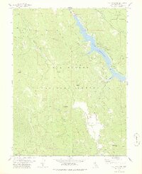
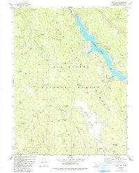
Editions of this 1978 Ruth Lake Map
3 editions found
Other maps of this area

1918 · Anada
USGS Topo · 1:62,500

1920 · Harris
USGS Topo · 1:62,500

1921 · Hoaglin
USGS Topo · 1:62,500

1922 · Island Mountain
USGS Topo · 1:62,500

1931 · Hoaglin
USGS Topo · 1:96,000

1935 · Hoaglin
USGS Topo · 1:125,000

1949 · Blocksburg
USGS Topo · 1:62,500

1949 · Alderpoint
USGS Topo · 1:62,500

1951 · Alderpoint
USGS Topo · 1:62,500

1951 · Blocksburg
USGS Topo · 1:62,500