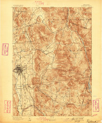
1893 Map of Rutland
USGS Topo · Published 1898About this map
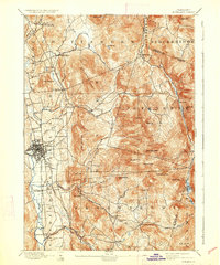
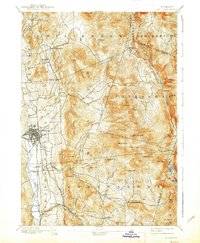
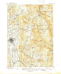
Rutland serves as the industrial and transportation hub of this late-nineteenth-century Green Mountain landscape, anchored by a dense network of iron rails. The Central Vermont Railway, D.& H. R.R., and Rutland and Bennington converge here, facilitating the movement of goods and people through the valley of Otter Creek. Beyond the city center, the terrain is defined by the high elevations of the Blue Ridge Mountain range, including prominent summits like Killington Peak, Pico Peak, and Shrewsbury Peak.
Find a feature on this map
58 named features on this map. Tap any name to fly to it.
Don’t see what you’re looking for? This feature index may not catch every label — zoom into the map to look around manually.
Map Details
Editions of this 1893 Rutland Map
8 editions found
Other maps of this area

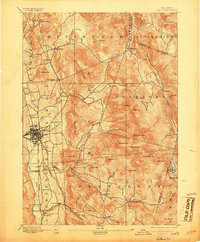
1891 · Rutland
USGS Topo · 1:62,500

1893 · Wallingford
USGS Topo · 1:62,500

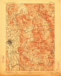
1893 · Rutland
USGS Topo · 1:62,500

1894 · Pawlet
USGS Topo · 1:62,500

1895 · Castleton
USGS Topo · 1:62,500

1897 · Pawlet
USGS Topo · 1:62,500

1897 · Castleton
USGS Topo · 1:62,500

1902 · Brandon
USGS Topo · 1:62,500

1903 · Mettawee
USGS Topo · 1:125,000

1904 · Brandon
USGS Topo · 1:62,500