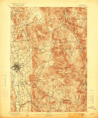
1893 Map of Rutland
USGS Topo · Published 1921About this map
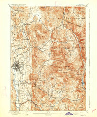
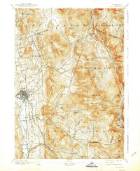
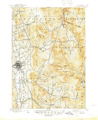
Rutland serves as the central hub of this late 19th-century Vermont landscape, where the Central Vermont Railroad and the D. & H. R. R. converge along the banks of Otter Creek. The survey highlights a sharp contrast between the industrializing valley floor and the massive heights of the Green Mountains to the east. High elevation features like Killington Peak, Pico Peak, and Mendon Peak dominate the eastern half of the map, illustrating the steep topography that constrained early settlement to the narrow river corridors.
Find a feature on this map
55 named features on this map. Tap any name to fly to it.
Don’t see what you’re looking for? This feature index may not catch every label — zoom into the map to look around manually.
Map Details
Editions of this 1893 Rutland Map
8 editions found
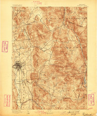
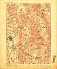
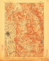
Other maps of this area

1891 · Rutland
USGS Topo · 1:62,500

1893 · Wallingford
USGS Topo · 1:62,500

1893 · Rutland
USGS Topo · 1:62,500

1894 · Pawlet
USGS Topo · 1:62,500

1895 · Castleton
USGS Topo · 1:62,500

1897 · Pawlet
USGS Topo · 1:62,500

1897 · Castleton
USGS Topo · 1:62,500

1902 · Brandon
USGS Topo · 1:62,500

1903 · Mettawee
USGS Topo · 1:125,000

1904 · Brandon
USGS Topo · 1:62,500