2016 Map of Ryanville
USGS Topo · Published 2016About this map
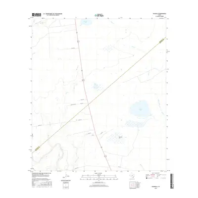
The coastal plains along the Goliad County and Refugio County line are defined by a network of seasonal water bodies and subtle drainage ways. Low-lying features like Willow Lake, Bundick Lake, and Flat Lake are characteristic of this Texas landscape, where slight depressions collect water across the broad expanse of Ninemile Flat. The drainage pattern is dictated by numerous small waterways, including Melon Creek, Blanco Creek, and Sarco Cr, which cut through the open country. A sparse road network, featuring local routes such as McGuill Road, Walton Road, and Jackson Road, provides the primary access to these rural tracts. The map illustrates a transitional landscape where the interior plains meet the low-relief terrain of the coastal bend, anchored by the namesake crossing of Ryan Street near the heart of the quadrangle.
Find a feature on this map
24 named features on this map. Tap any name to fly to it.
Don’t see what you’re looking for? This feature index may not catch every label — zoom into the map to look around manually.
Map Details
Editions of this 2016 Ryanville Map
This is the sole edition of this map. No revisions or reprints were ever made.
Other maps of this area

1953 · Beeville
USGS Topo · 1:250,000

1954 · Vidaurri
USGS Topo · 1:62,500

1954 · Refugio
USGS Topo · 1:62,500

1956 · Beeville
USGS Topo · 1:250,000

1960 · Beeville
USGS Topo · 1:250,000

1962 · Live Oak Lake
USGS Topo · 1:24,000

1962 · Lott Lake
USGS Topo · 1:24,000

1962 · Melo
USGS Topo · 1:24,000

1978 · Ryanville
USGS Topo · 1:24,000

1978 · Vidaurri
USGS Topo · 1:24,000