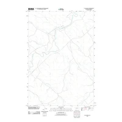
2011 Map of S H School
USGS Topo · Published 2011About this map
The Tongue River valley defines this section of Custer County, Montana, providing a perennial water source for a landscape dominated by seasonal drainage networks. In the early 21st century, the area's geography is structured around the river and its primary transit corridors, Moon Creek Rd and Tongue River Rd. These routes follow the natural topography, connecting remote ranchlands where numerous named creeks, such as Elk Creek, Ranch Creek, and Coon Creek, descend from the surrounding divides to the river basin. The map illustrates a traditional Western ranching environment where the availability of water at features like Pump Creek and Garden Creek has historically dictated land use and settlement patterns. Researchers of Eastern Montana's rural history can trace the intricate network of coulees and ridges that separate the Lay Creek and Kelsey Creek drainages, showing how the physical environment remained largely unaltered by modern development.
Find a feature on this map
11 named features on this map. Tap any name to fly to it.
Don’t see what you’re looking for? This feature index may not catch every label — zoom into the map to look around manually.
Map Details
Editions of this 2011 S H School Map
This is the sole edition of this map. No revisions or reprints were ever made.
Other maps of this area

1953 · Miles City
USGS Topo · 1:250,000

1954 · Hardin
USGS Topo · 1:250,000

1954 · Ekalaka
USGS Topo · 1:250,000

1954 · Forsyth
USGS Topo · 1:250,000

1956 · Ekalaka
USGS Topo · 1:250,000

1957 · Miles City
USGS Topo · 1:250,000

1957 · Hardin
USGS Topo · 1:250,000

1957 · Forsyth
USGS Topo · 1:250,000

1958 · Miles City
USGS Topo · 1:250,000

1958 · Ekalaka
USGS Topo · 1:250,000