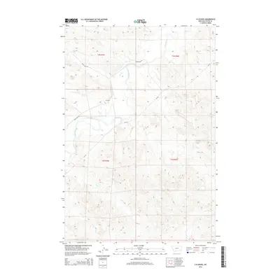
2014 Map of S H School
USGS Topo · Published 2014About this map
S H School stands as a local landmark in this Montana landscape, situated near the winding course of the Tongue River. The terrain is defined by a dense network of seasonal and perennial drainages, including Pump Cr, Elk Cr, and Coon Cr, which carve through the high plains topography of Custer County. The map provides a clear look at the rural infrastructure of the early 21st century, where the Moon Creek Rd and MT-332 serve as the primary conduits through the ranching country of townships t3n r45e and t2n r46e. This survey illustrates the relationship between the river valley and the surrounding ridges, punctuated by named features like Lay Cr and Garden Cr that have likely served as orientation points for generations of local residents.
Find a feature on this map
16 named features on this map. Tap any name to fly to it.
Don’t see what you’re looking for? This feature index may not catch every label — zoom into the map to look around manually.
Map Details
Editions of this 2014 S H School Map
This is the sole edition of this map. No revisions or reprints were ever made.
Other maps of this area

1953 · Miles City
USGS Topo · 1:250,000

1954 · Hardin
USGS Topo · 1:250,000

1954 · Ekalaka
USGS Topo · 1:250,000

1954 · Forsyth
USGS Topo · 1:250,000

1956 · Ekalaka
USGS Topo · 1:250,000

1957 · Miles City
USGS Topo · 1:250,000

1957 · Hardin
USGS Topo · 1:250,000

1957 · Forsyth
USGS Topo · 1:250,000

1958 · Miles City
USGS Topo · 1:250,000

1958 · Ekalaka
USGS Topo · 1:250,000