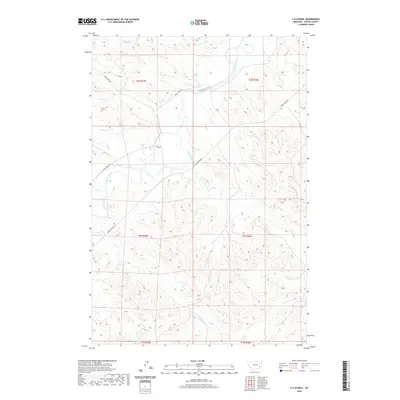
2020 Map of S H School
USGS Topo · Published 2020About this map
The Tongue River meanders through the heart of this Custer County landscape, defining the drainage patterns for numerous seasonal tributaries. Rural life in this corner of Montana centers on the S H School, a solitary landmark providing a focal point for the surrounding ranching community. The map reveals a complex network of named coulees and creeks, including Ranch Cr, Coal Cr, and Pump Cr, which carve into the high ground between the river valley and the undulating plains.
Find a feature on this map
20 named features on this map. Tap any name to fly to it.
Don’t see what you’re looking for? This feature index may not catch every label — zoom into the map to look around manually.
Map Details
Editions of this 2020 S H School Map
This is the sole edition of this map. No revisions or reprints were ever made.
Other maps of this area

1953 · Miles City
USGS Topo · 1:250,000

1954 · Hardin
USGS Topo · 1:250,000

1954 · Ekalaka
USGS Topo · 1:250,000

1954 · Forsyth
USGS Topo · 1:250,000

1956 · Ekalaka
USGS Topo · 1:250,000

1957 · Miles City
USGS Topo · 1:250,000

1957 · Hardin
USGS Topo · 1:250,000

1957 · Forsyth
USGS Topo · 1:250,000

1958 · Miles City
USGS Topo · 1:250,000

1958 · Ekalaka
USGS Topo · 1:250,000