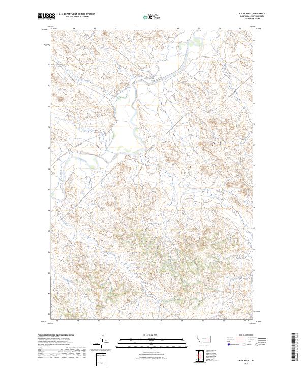
2024 Map of S H School
USGS Topo · Published 2024About this map
The Tongue River meanders through this portion of Custer County, shaping the agricultural and topographical character of the eastern Montana landscape. The presence of the S H Ditch suggests a legacy of managed irrigation, essential for ranching and farming in this semi-arid region. This water system parallels the river and intersects with a network of local transport routes including S H Rd and Tongue River Rd.
Find a feature on this map
20 named features on this map. Tap any name to fly to it.
Don’t see what you’re looking for? This feature index may not catch every label — zoom into the map to look around manually.
Map Details
Editions of this 2024 S H School Map
This is the sole edition of this map. No revisions or reprints were ever made.
Other maps of this area

1953 · Miles City
USGS Topo · 1:250,000

1954 · Hardin
USGS Topo · 1:250,000

1954 · Ekalaka
USGS Topo · 1:250,000

1954 · Forsyth
USGS Topo · 1:250,000

1956 · Ekalaka
USGS Topo · 1:250,000

1957 · Miles City
USGS Topo · 1:250,000

1957 · Hardin
USGS Topo · 1:250,000

1957 · Forsyth
USGS Topo · 1:250,000

1958 · Miles City
USGS Topo · 1:250,000

1958 · Ekalaka
USGS Topo · 1:250,000