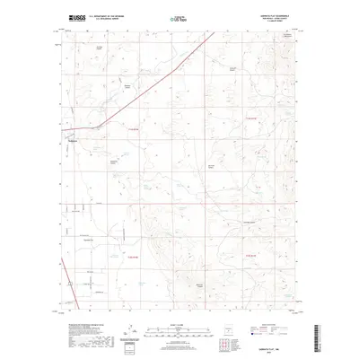
2020 Map of Sabinata Flat
USGS Topo · Published 2020About this map
Tularosa sits at the western edge of this survey, where the desert floor meets the rising slopes of the Sacramento Mountains. The landscape is defined by the transition from the flatlands of Sabinata Flat to the dramatic relief of Tularosa Canyon and Ysletano Canyon. This environment is punctuated by essential water sources that have long sustained life in the arid basin, including Wallenberg Spring, Whitmore Spring, and the aptly named Burro Water Hole.
Find a feature on this map
49 named features on this map. Tap any name to fly to it.
Don’t see what you’re looking for? This feature index may not catch every label — zoom into the map to look around manually.
Map Details
Editions of this 2020 Sabinata Flat Map
This is the sole edition of this map. No revisions or reprints were ever made.
Other maps of this area

1916 · Tularosa
USGS Topo · 1:125,000

1916 · Point Of Sands
USGS Topo · 1:125,000

1948 · Tularosa
USGS Topo · 1:62,500

1948 · Holloman
USGS Topo · 1:62,500

1950 · Alamogordo
USGS Topo · 1:62,500

1950 · Mescalero
USGS Topo · 1:62,500

1954 · Carlsbad
USGS Topo · 1:250,000

1954 · Tularosa
USGS Topo · 1:250,000

1955 · Las Cruces
USGS Topo · 1:250,000

1955 · Roswell
USGS Topo · 1:250,000