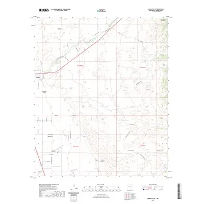
2023 Map of Sabinata Flat
USGS Topo · Published 2023About this map
Tularosa sits at the edge of the high desert where the flats meet the rising slopes of the Sacramento Mountains. The landscape is defined by its water sources and drainage patterns, with Tularosa Creek flowing through Tularosa Canyon and numerous springs like Wallenberg Spring, Whitmore Spring, and Gutierrez Spring sustaining life in this arid environment. The transition from the alluvial fans of Sabinata Flat to the deep incisions of Rancheria Canyon and Domingo Canyon highlights the complex topography of the basin's edge.
Find a feature on this map
64 named features on this map. Tap any name to fly to it.
Don’t see what you’re looking for? This feature index may not catch every label — zoom into the map to look around manually.
Map Details
Editions of this 2023 Sabinata Flat Map
This is the sole edition of this map. No revisions or reprints were ever made.
Other maps of this area

1916 · Tularosa
USGS Topo · 1:125,000

1916 · Point Of Sands
USGS Topo · 1:125,000

1948 · Tularosa
USGS Topo · 1:62,500

1948 · Holloman
USGS Topo · 1:62,500

1950 · Alamogordo
USGS Topo · 1:62,500

1950 · Mescalero
USGS Topo · 1:62,500

1954 · Carlsbad
USGS Topo · 1:250,000

1954 · Tularosa
USGS Topo · 1:250,000

1955 · Las Cruces
USGS Topo · 1:250,000

1955 · Roswell
USGS Topo · 1:250,000