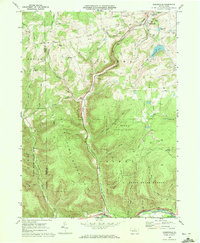
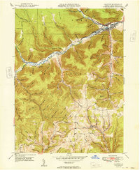
1969 Map of Sabinsville
USGS Topo · Published 1972About this map
The Galeton and Addison railroad winds through the valley of Long Run, connecting the small communities of Sabinsville and Gaines during a period of active resource extraction. This landscape is defined by the energy economy of late-century Tioga County, with numerous Gas Well sites scattered across Clymer and Hector townships, alongside visible Strip Mine operations near Gurnee.
Find a feature on this map
55 named features on this map. Tap any name to fly to it.
Don’t see what you’re looking for? This feature index may not catch every label — zoom into the map to look around manually.
Map Details
Editions of this 1969 Sabinsville Map
3 editions found
Other maps of this area

1899 · Gaines
USGS Topo · 1:62,500

1900 · Gaines
USGS Topo · 1:62,500

1900 · Elkland
USGS Topo · 1:62,500

1946 · Tiadaghton
USGS Topo · 1:24,000

1946 · Antrim
USGS Topo · 1:62,500

1947 · Galeton
USGS Topo · 1:62,500

1947 · Galeton
USGS Topo · 1:24,000

1947 · Marshlands
USGS Topo · 1:24,000
1948 · Tiadaghton
USGS Topo · 1:24,000
1949 · Galeton
USGS Topo · 1:24,000
Featured Places
- Clymer Township, PA
- Gaines Township, PA
- Hector Township, PA
- Pike Township, PA
- Sabinsville, Clymer Township