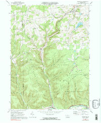
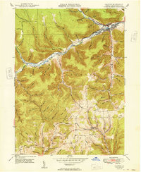
1969 Map of Sabinsville
USGS Topo · Published 1990About this map
Sabinsville and the surrounding high country of the Potter Co Tioga Co line define this 1969 landscape. The area is characterized by deep wooded valleys and significant public lands, including State Game Lands No 64 and parts of the Tioga State Forest. Settlement is concentrated in the northern valleys near Sabinsville and along the southern corridor through Gaines and Rexford.
Find a feature on this map
57 named features on this map. Tap any name to fly to it.
Don’t see what you’re looking for? This feature index may not catch every label — zoom into the map to look around manually.
Map Details
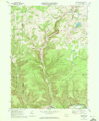
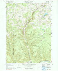
Editions of this 1969 Sabinsville Map
3 editions found
Other maps of this area

1899 · Gaines
USGS Topo · 1:62,500

1900 · Gaines
USGS Topo · 1:62,500

1900 · Elkland
USGS Topo · 1:62,500

1946 · Tiadaghton
USGS Topo · 1:24,000

1946 · Antrim
USGS Topo · 1:62,500

1947 · Galeton
USGS Topo · 1:62,500

1947 · Galeton
USGS Topo · 1:24,000

1947 · Marshlands
USGS Topo · 1:24,000
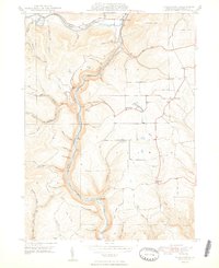
1948 · Tiadaghton
USGS Topo · 1:24,000
1949 · Galeton
USGS Topo · 1:24,000
Featured Places
- Clymer Township, PA
- Gaines Township, PA
- Hector Township, PA
- Pike Township, PA
- Sabinsville, Clymer Township