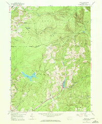
1959 Map of Sabula
USGS Topo · Published 1970About this map
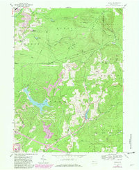
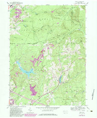
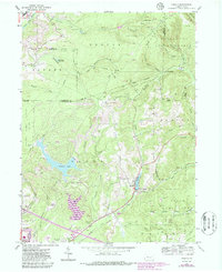
Sabula serves as the primary hub in this late-1950s landscape, situated where the Baltimore and Ohio and Pennsylvania railroad lines converge. The town is flanked by significant water features, including Lake Sabula and Lake Rene, which punctuate a terrain defined by the Moshannon State Forest and various state game lands. Industrial activity is evident through numerous strip mines and gas wells scattered across the ridges, particularly in the Horton and Huston townships.
Find a feature on this map
54 named features on this map. Tap any name to fly to it.
Don’t see what you’re looking for? This feature index may not catch every label — zoom into the map to look around manually.
Map Details
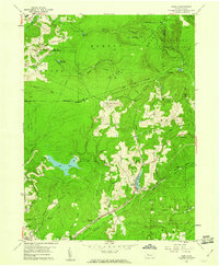
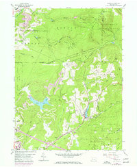
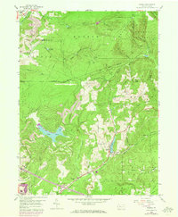
Editions of this 1959 Sabula Map
7 editions found
Other maps of this area

1922 · Du Bois
USGS Topo · 1:62,500

1924 · Du Bois
USGS Topo · 1:62,500

1929 · Penfield
USGS Topo · 1:62,500

1932 · Penfield
USGS Topo · 1:62,500

1940 · Hallton
USGS Topo · 1:48,000

1941 · Ridgway
USGS Topo · 1:62,500

1943 · Hallton
USGS Topo · 1:62,500

1944 · Du Bois
USGS Topo · 1:62,500

1944 · Ridgway
USGS Topo · 1:62,500

1957 · Warren
USGS Topo · 1:250,000