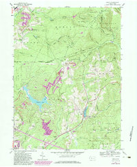
1959 Map of Sabula
USGS Topo · Published 1984About this map
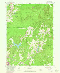
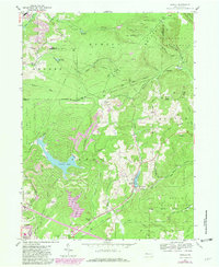
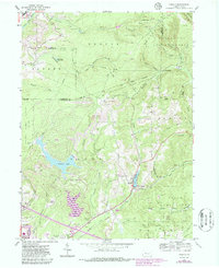
Sandy Lick Creek and its many tributaries, including Narrows Creek and McCracken Run, carve a complex drainage network through this portion of the Allegheny Plateau. The landscape reflects a dual identity of conservation and resource extraction, with the boundaries of the Moshannon State Forest and multiple state game lands intersecting with active Strip Mine operations. The presence of the Conrail and the Baltimore And Ohio lines highlights the area's historical reliance on rail for the movement of coal and timber.
Find a feature on this map
55 named features on this map. Tap any name to fly to it.
Don’t see what you’re looking for? This feature index may not catch every label — zoom into the map to look around manually.
Map Details
Editions of this 1959 Sabula Map
7 editions found
Other maps of this area

1922 · Du Bois
USGS Topo · 1:62,500

1924 · Du Bois
USGS Topo · 1:62,500

1929 · Penfield
USGS Topo · 1:62,500

1932 · Penfield
USGS Topo · 1:62,500

1940 · Hallton
USGS Topo · 1:48,000

1941 · Ridgway
USGS Topo · 1:62,500

1943 · Hallton
USGS Topo · 1:62,500

1944 · Du Bois
USGS Topo · 1:62,500

1944 · Ridgway
USGS Topo · 1:62,500

1957 · Warren
USGS Topo · 1:250,000