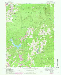
1959 Map of Sabula
USGS Topo · Published 1981About this map
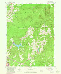
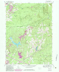
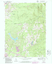
Sabula and the high ridge of Boone Mountain define this landscape at the intersection of Clearfield, Elk, and Jefferson counties. The 1959 survey, updated in the early 1980s, documents a transition from heavy resource extraction to recreational development. Extensive strip mines and numerous gas wells populate the northern townships of Horton and Huston, while the southern reaches show the expansion of Treasure Lake and its associated Golf Course. Industrial infrastructure is prominent, with the Conrail and Baltimore and Ohio railroads traversing the terrain, including the notable Sabula Tunnel. Cultural history is preserved through scattered burial grounds like Conway Cem and Bundy Cem, while large tracts of Moshannon State Forest and State Game Lands No 77 protect the headwaters of Sandy Lick Creek and Bennett Branch.
Find a feature on this map
61 named features on this map. Tap any name to fly to it.
Don’t see what you’re looking for? This feature index may not catch every label — zoom into the map to look around manually.
Map Details
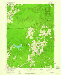
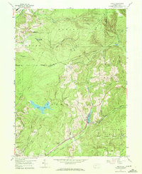
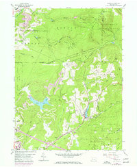
Editions of this 1959 Sabula Map
7 editions found
Other maps of this area

1922 · Du Bois
USGS Topo · 1:62,500

1924 · Du Bois
USGS Topo · 1:62,500

1929 · Penfield
USGS Topo · 1:62,500

1932 · Penfield
USGS Topo · 1:62,500

1940 · Hallton
USGS Topo · 1:48,000

1941 · Ridgway
USGS Topo · 1:62,500

1943 · Hallton
USGS Topo · 1:62,500

1944 · Du Bois
USGS Topo · 1:62,500

1944 · Ridgway
USGS Topo · 1:62,500

1957 · Warren
USGS Topo · 1:250,000