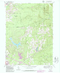
1959 Map of Sabula
USGS Topo · Published 1986About this map
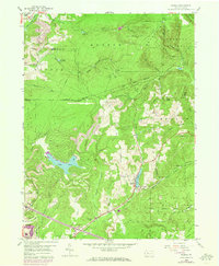
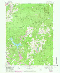
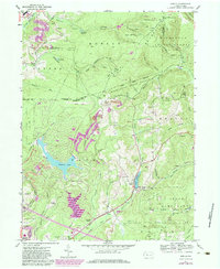
Sabula and the surrounding wooded slopes of Boone Mountain define this landscape within the Pennsylvania Wilds, where industrial extraction and forest conservation exist in close proximity. The map reveals a transition from the coal-rich terrain of Snyder and Horton townships to the protected wilderness of the Moshannon State Forest. The presence of numerous Strip Mines and a specific Coal Mine underscore the region's reliance on mineral wealth, while the network of railways, including the Baltimore and Ohio and Conrail, illustrates the logistical infrastructure required to move coal and timber.
Find a feature on this map
57 named features on this map. Tap any name to fly to it.
Don’t see what you’re looking for? This feature index may not catch every label — zoom into the map to look around manually.
Map Details
Editions of this 1959 Sabula Map
7 editions found
Other maps of this area

1922 · Du Bois
USGS Topo · 1:62,500

1924 · Du Bois
USGS Topo · 1:62,500

1929 · Penfield
USGS Topo · 1:62,500

1932 · Penfield
USGS Topo · 1:62,500

1940 · Hallton
USGS Topo · 1:48,000

1941 · Ridgway
USGS Topo · 1:62,500

1943 · Hallton
USGS Topo · 1:62,500

1944 · Du Bois
USGS Topo · 1:62,500

1944 · Ridgway
USGS Topo · 1:62,500

1957 · Warren
USGS Topo · 1:250,000