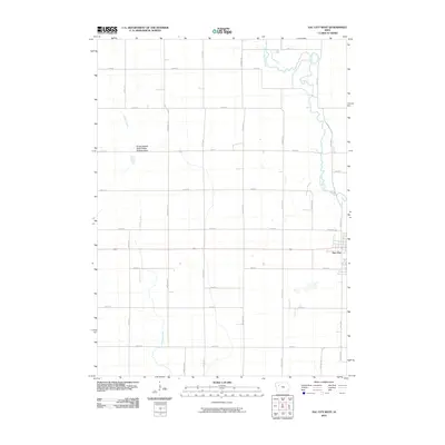
2010 Map of Sac City West
USGS Topo · Published 2010About this map
Sac City anchors the eastern edge of this agricultural landscape in north-central Iowa, where the residential grid meets the winding course of the North Raccoon River. This 2010 survey illustrates a highly organized section-line road network, dominated by routes such as Mace Ave, Otter Ave, and Needham Ave, which define the region's productive farmland. The hydrology is centered on the drainage of Indian Creek and the broader river valley, providing a natural contrast to the rigid geometry of the surrounding fields. Near the center of the quadrangle, the Kiowa Marsh State Public Hunting Area stands out as a significant conservation site, preserving local wetland ecology amidst the intensive cultivation of the Iowa prairie.
Find a feature on this map
27 named features on this map. Tap any name to fly to it.
Don’t see what you’re looking for? This feature index may not catch every label — zoom into the map to look around manually.
Map Details
Editions of this 2010 Sac City West Map
This is the sole edition of this map. No revisions or reprints were ever made.
Other maps of this area

1954 · Fort Dodge
USGS Topo · 1:250,000

1957 · Fort Dodge
USGS Topo · 1:250,000

1958 · Fort Dodge
USGS Topo · 1:250,000

1979 · Lakeside
USGS Topo · 1:24,000

1979 · Newell West
USGS Topo · 1:24,000

1979 · Newell East
USGS Topo · 1:24,000

1980 · Odebolt East
USGS Topo · 1:24,000

1980 · Sac City East
USGS Topo · 1:24,000

1980 · Grant City
USGS Topo · 1:24,000

1980 · Early
USGS Topo · 1:24,000